Today almost felt like a day off! A short stage, that also allowed Rafi to get back early to his wife D’vorit who is still recovering from a nasty fall where her head struck a rock.
We dithered a little about where to finish the day and drove around unnecessarily for 40 mins looking for somewhwere closer to our start before leaving Rafi’s car by the Iftachet junction of Routes 77 and 79 – precisely what we had planned to do at the outset!
 We started with a steep climb to the centre of the arab village of Meshad, where there is a beautiful new mosque, and then walked steadily downhill towards Zippori. After about 2.5km we left the tarmac. The trail was broad and clear through shaded pines – but painful on the feet as it was uneven and covered in sharp rocks. We passed a group of around ten 70+ year old army veteran hiking the trail from the south in memory of a Brigadier colleague who had died, but otherwise again we had the peaceful trail to ourselves, part from pairs F16s occasionally roaring across the skies.
We soon arrived at Zippori but did not have the time to see it as we were conscious of the need to finish early, and it needs time to appreciate.
Zippori is a village and archeological site 6 kilometers north-northwest of Nazareth. It lies 286 meters above sea level and overlooks the Beit Netofa Valley. The site has a rich and diverse historical and architectural legacy that includes Hellenistic, Jewish, Roman, Byzantine, Islamic, Crusader, Arabic and Ottoman influences. Josephus Flavius described it as “the ornament of the Galilee”.
The main attractions today include a restored third century villa with a magnificent mosaic of scenes from the life of Dionysus, the god of wine, and the beautiful “Mona Lisa of the Galilee”. There is also a synagogue with the magnificent “Nile Mosaic” dating fron the 5th century CE, a partially restored 4,500 seat Roman theatre and an ancient water system. the Crusaders believed that Ann and Joachim, the parents of Jesus, lived in Zippori where today a 5th-century basilica is excavated at the site honoring the birth of Mary. There are in fact two early Christian churches, a Crusader fort renovated by Zahir al-Umar in the 18th century, and over sixty different mosaics dating from the third to the sixth century CE.

“Mona Lisa of the Galilee”, 4th-century Roman mosaic in Zippori
Following the Bar Kokhba revolt of 132–135CE, Zippori was one of the Galilean centres in Galilee where rabbinical families from Judea relocated. The remains of the synagogue were discovered on the northern side of town. In the 7th century, the town was conquered by the Arab Rashidun armies during the Muslim conquest of the Levant. Successive Arab and imperial authorities ruled the area until the Crusades.
Until its depopulation during the 1948 Arab–Israeli War, ‘Saffuriya’ (as Zippori was called) was an Arab village. Moshav Tzippori was established adjacent to the site in 1949. It falls under the jurisdiction of Jezreel Valley Regional Council, and in 2018 had a population of 970. The area occupied by the former Arab village was designated a national park in 1992.
This is a definite place to return to…
I was then astonsished to find just a kilometre further on the tomb of Rabbi YehudaHaNasi who completed the editing of the Mishnah, finalising it into its current form.
There are two opinions regarding the burial location of Rabbi Yehudah HaNasi, either in Zippori or in Bet Shearim,  sourced in conflicting passages of the Talmud. It is probable that a tomb was original created for Rebbe in Bet Shearim but since he passed away on a Friday (on 15 Kislev – his Yahrzeit is my hebrew birthday), he may instead buried in Zippori, where he was located at the time.
An alternative view (we are talking about Mishnaic times…) is that he was buried in Bet Shearim, and this is the tomb of his grandson.
The tomb was small, restrained and had an impressive stillness. It was extraordinary to think, as I prayed there, that this may be the tomb of the man who, born on the date of Rabbi Akiva’s passing and following the Kar Kochba revolt, essentially secured the future of Judaism at a very dark time.

We walked on into Resh Lakish Park, for a while accompanied by a young Israeli girl fresh out of the army and hiking the trail on her own – a welcome reminder that in many ways Israel is still an extremely safe country. We parted as we reached our car just 4 hours after starting (against the 6 hours allowed in Rafi’s guide).
 A relaxed day to finish this 3 day stint: we look forward to our next one in December.


 There was little of obvious historic interest to see until Tel Rakesh (although the trail passes by a 3rd Century CE synagogue and an early mosque, as well as an arab village abandoned in 1948) an ancient city mentioned by Thutmose III and his son Amonhotep II dating back to 1500 BCE.


 So, the theory was great. We’d go for an easier stretch on Tuesday, from Kfar Kish to Nazareth Illit, and do the shorter stretch from Yardenit to Kfar Kish on Wednesday. That way we could start a little later after I’d been to shul to say kaddish on my mother’s yahrzeit.


 in honour of the Silver Wedding of Queen Elizabeth II and Prince Philip by British Jewry and hurried on down as the shadows lengthened knowing we had a third climb, of Mt Jona, to reach our destination for the day at the mall before sunset at around 17:40.


 Rafi and Ronnie had waterproof trousers, I didn’t, an error I’ll correct next time. On the first day Ronnie hadn’t worn them, much to his regret when he found he had only one pair of trousers with him and had to borrow a pair of mine whilst washing his when we went to Avi’s for dinner last night. The mud was so thick on my walking trousers each day it was a huge effort to clean them up each evening for the next morning. But enough of the housework…
 meant to them to be undergoing the ceremony in what was to them such a special place.
 Tiberius Illit and walked an easy path through the Switzerland Forest. The Red Guide said we would walk all day with magnificent views of the Kinneret to our left – but the rain and mist obscured them pretty effectively for most of the first two hours.
 butterflies were still around in droves – although wisely not trying to do too much flying. It was only in retrospect that I found out from Eyal Greenberg, CEO of our biotech R&D facility in Netanya, that for two weeks each year
 millions of
 lunch before reaching sea level (that is, Sea of Galilee level, 200m below actual sea level). After a period of good signage the trail markers again disappeared for a while, but it was clear we needed to turn right to reach Yardenit and we found ourselves walking through

 Farm, the historic Kinneret Cemetry where many pioneers and leaders of the Labour movement are buried, among them
 to Yesha fort to see the irises. Driving back – 45 minutes of fast driving – I realised how far we had come, but I was out of luck. Despite the guidance of the lady who ran the vineyards at Yiftah to the spot she had seen them a couple of weeks earlier, they had all finished flowering. But perhaps it was for the best; I’ll try and arrange for Ruth and I to see them together next year. The trip was not wasted – the other flowers and the views were spectacular, and with them in mind I started the trip back to Herzliya.

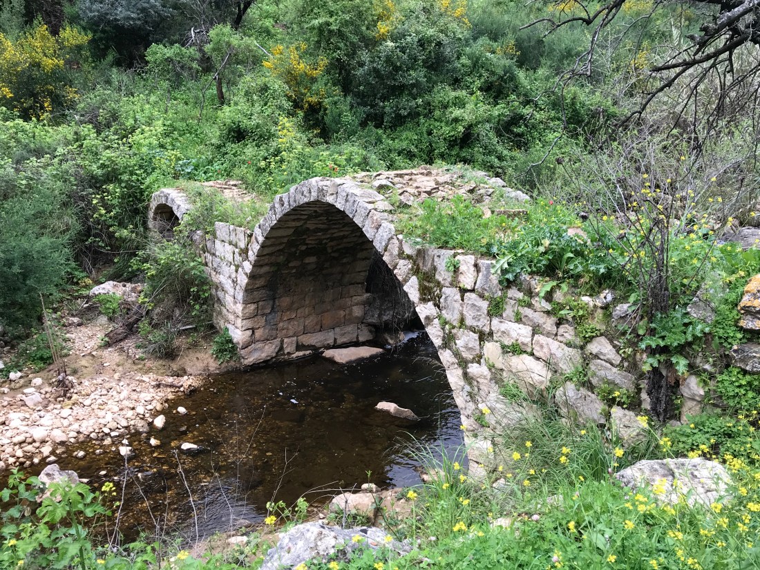
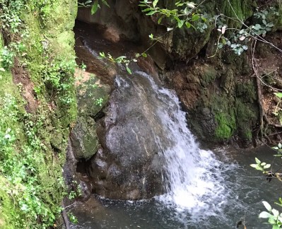
 stream four times as it meandered towards the lake. It flowed gently and we were walking an easy straight-ish path.
 of orange blossom (could have been Pomelo) from an orchard we walked through, and there were mangos and other fruits as we approached the entrance to the settlement of Migdal and reached the banks of the Kinneret itself – or at least Road 90 running along its shore. It was encouraging to see the lake was larger than when I last saw it. The past three months have seen high rainfall and the Kinneret is higher than it has been in at least five years, increasing in depth over the winter by around 3 or 4 metres with a metre or more still to come – which given its gradually sloping shoreline significantly increases the size of the lake.
 We could see Hamam spread out before us and you could see it was a village of good homes with a new school, a new mosque and other signs of apparently well-earned prosperity. We heard the midday call to prayer ring out over the valley and could look beyond the village to see end of the Amud gorge and, further to the right, the northern Kinneret and the Golan heights as far as Gamla and Mount Rabin beyond. The scenery was breath-taking.
 caves. There are documented Jewish cliff dwellings dating back to the Second Temple, and the fortification walls protecting some of them are from the 17th century and were built by Ali Bek, son of the
  After a quick look at the sites we started the serious business of climbing the near vertical cliff face. Fortunately the better weather meant we did not have the mud and slippery rock issues we had in the Amud gorge the previous day, but there was a seriously long drop and the galvanised rings hammered into the cliff at particularly challenging sections, whilst essential, did not dispel the occasional bout of vertigo as we continued the climb to arrive – eventually – at the top precisely one and a quarter hours after we started.
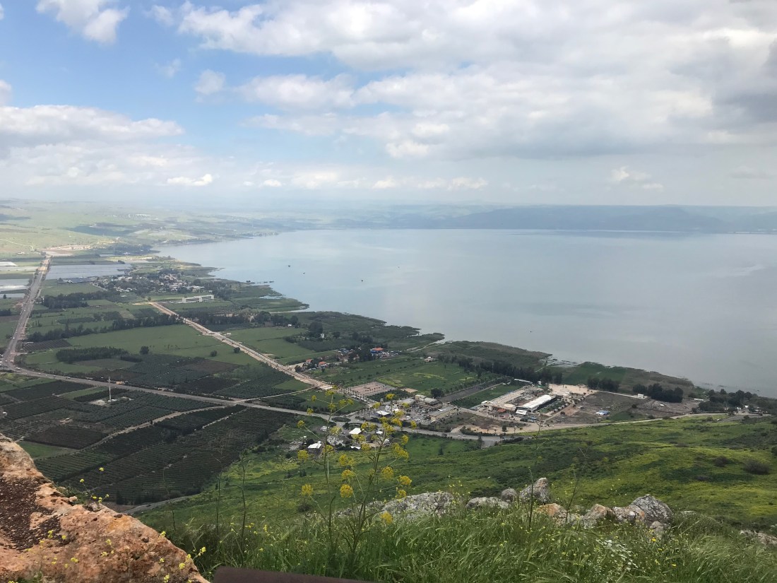 Tiberias Illit took the best part of two hours! But it was not difficult walking and we continued to marvel at the number of caterpillars and

 By 9.10 am we were on the trail and the rain, though not heavy, came in occasional showers. Of course, at this point I found I did not have my walking pole. I was sure I had brought it, but could not find it in the C3 when we left it. A pity as Nahal Amud was a day that poles would prove their worth… Luckily Ronnie – who had previously looked askance at poles – had become a convert and bought two top of the line poles; I would end up borrowing one.
 easy walking. A gentle downward path beside the Meron and later Amud streams. But, it gave us a false sense of security and optimism the day would be easy; in fact it was to be far from it. Also, whilst walking we picked up the first alert that a rocket from Gaza had hit a home north of Tel Aviv injuring 7, and shortly afterwards heard that thousands of reservists had been mobilised. Sobering.


 Still, there was little chance of getting lost as the gorge went on, and on, and on – although once or twice we lost the INT markers marking the easiest route over difficult parts of the gorge. On one occasion I scrambled up a particularly challenging part of the gorge, getting very wet and bruised in the process, to find it was not the way forward.
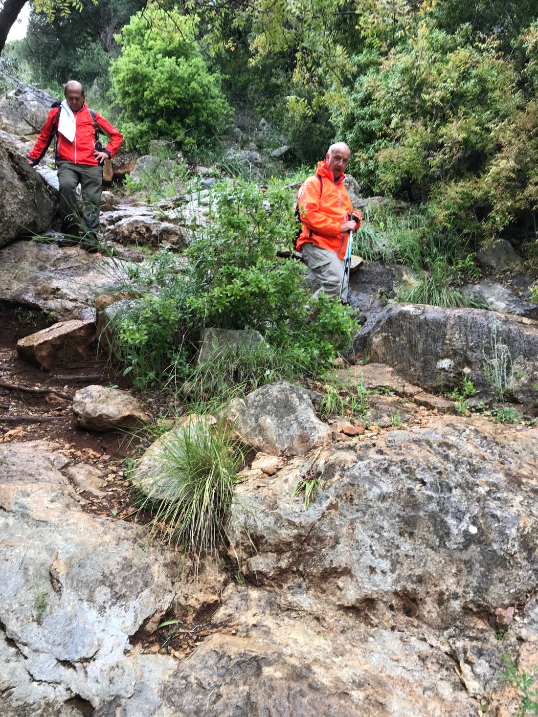
 the remains are clearly visible. There is an interesting background. After the expulsion from Spain, in 1492, Jews brought a new technology to Safed, which helped them to produce good quality woollen cloth. This production process involved beating the wool forcefully (fulling). The Jews of Safed built fulling mills operated by the water power of the Amud stream, which they called ‘batan’ (from the Arabic word for ‘to beat’). The golden age of the Safed fulling mills lasted only three or four generations, after which the mills were converted to regular flour mills in use until the 20thCentury.
 Israel National Water Carrier. This is the siphon through which the National Carrier crosses the Amud Stream, passing over a 150 m deep channel. In this section, the water is carried through steel pipes. After going down the northern bank of the stream, it then goes up again onto the other bank without the need for any input of energy (the law of communicating vessels). The pipe is some 700 m long, and has a diameter of 3.10 m, and is laid in a channel carved in the cliff, 5 m deep and 10 m wide. The pipe is covered with concrete in the form of stairs.


 birds of prey nesting or staying around the Amud Stream cliffs are the long-legged buzzard, the lesser kestrel, the common kestrel, Bonelli’s eagle, the Egyptian vulture, the cinereous vulture, and the snake eagle.”

